

World Hemispheres - Maps & Masters
$3.50
Maps present information about the world clearly and visually. They help children understand global geography by showing the sizes and shapes of countries, the locations of various features, and the distances between different places. Additionally, maps can show the distribution of various elements across the Earth, including population patterns.
Includes the following world maps:
- 1 colored and labeled map (with water)
- 1 colored and labeled map (without water)
- 1 colored without labels
- 1 black and white labeled map
- 1 black and white blank map
Continent colors match the traditional Montessori map colors. This file includes two sets of printable world maps, available in both letter and legal-size paper formats.
This file is in PDF format.
Related Items
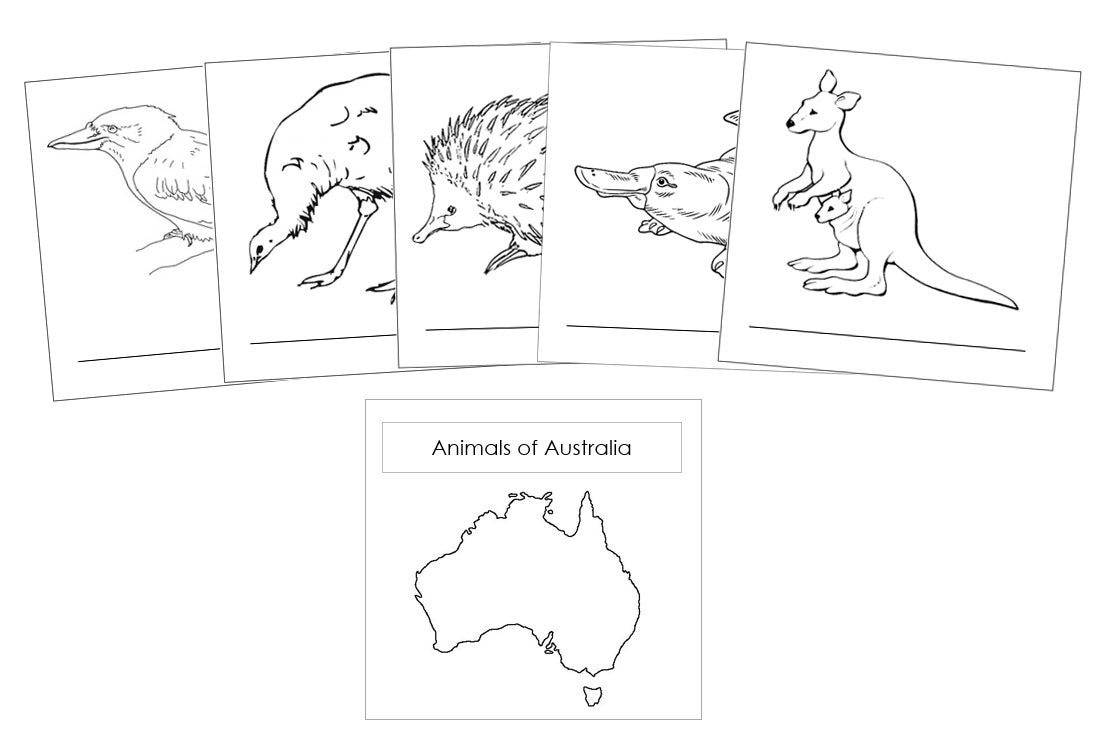
Animals of the Continents (Booklets) - Blackline Masters
$3.00
Learning about animals from different continents helps children understand global biodiversity, shows how species adapt to their environments, and highlights...


Animals of the Continents - Cut & Paste
$3.00
Learning about animals from different continents helps children understand global biodiversity, shows how species adapt to their environments, and highlights...
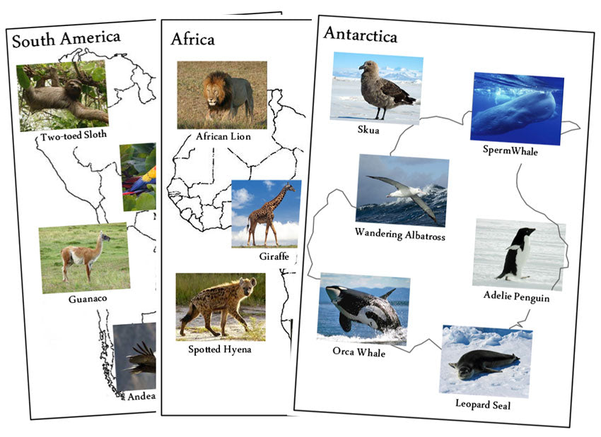
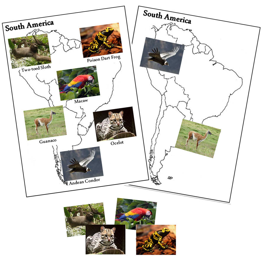
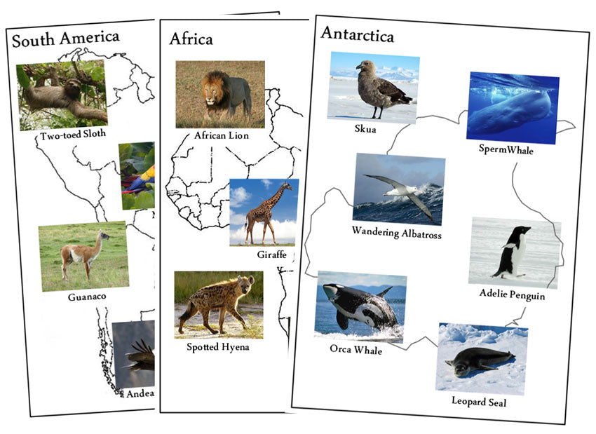
Animals of the Continents - Set 1
$4.00
Learning about animals from different continents helps children understand global biodiversity, see how species adapt to their environments, and highlight...


