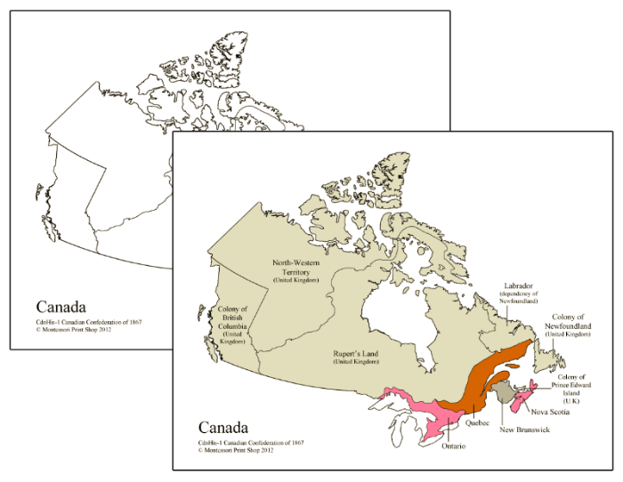
Canadian Confederation of 1867 Maps
$2.50
Teaching history is essential because it helps children understand their place in the world and the extensive story of human development, fostering critical thinking and a sense of interconnectedness.
This set includes the following maps related to the Canadian Confederation of 1867.
Maps with the 1867 boundaries:
- 1 blank
- 1 blank with labels (4 provinces)
- 1 blank with all labels
- 1 color
- 1 color with labels (4 provinces)
- 1 color with all labels
- 1 color of full map with all labels
Maps with the current map boundaries:
- 1 blank
- 1 blank with labels (4 provinces)
- 1 color
- 1 color with labels (4 provinces)
Maps print on letter-size paper (8½" x 11").
This file is in PDF format.
Related Items
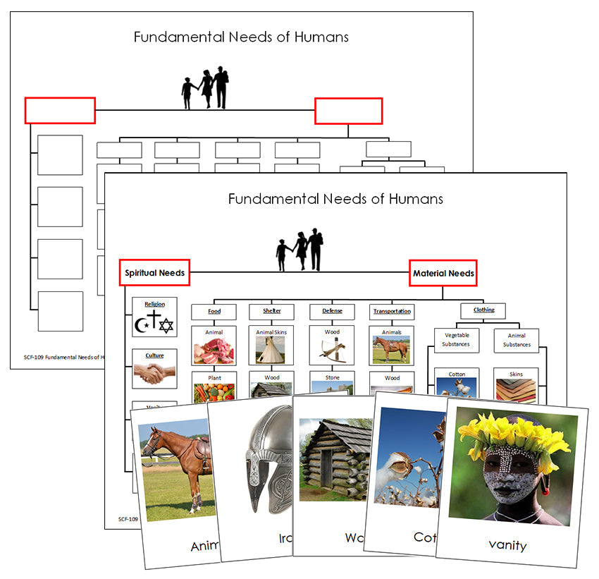
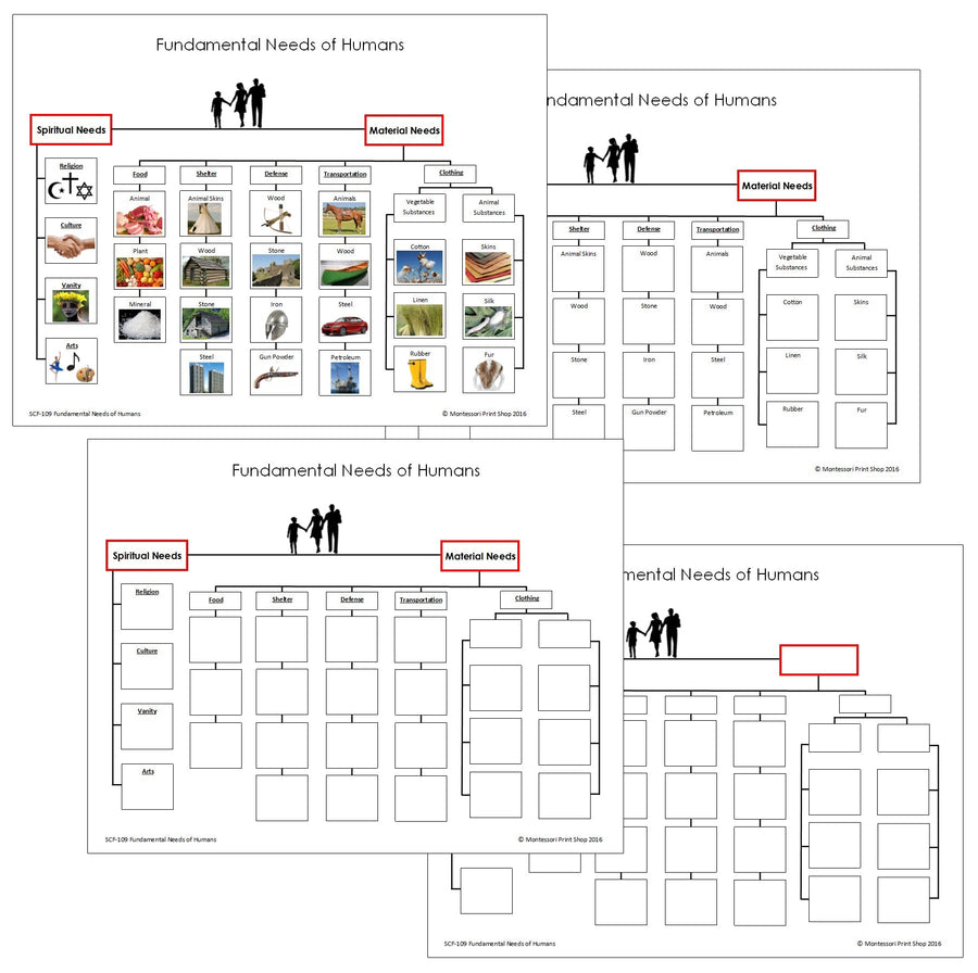
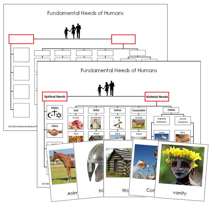
Fundamental Needs of Humans
$4.50
The Fundamental Needs of Humans material aims to help children understand that people everywhere share the same basic needs, even...


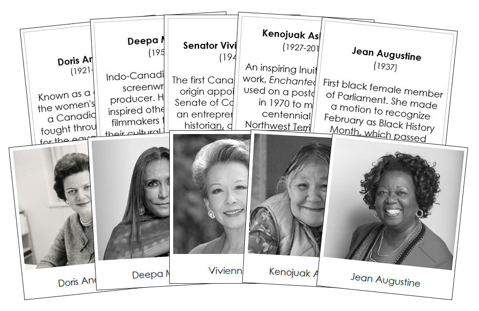
Great Women of Canada
$3.50
Teaching about significant historical figures is essential for understanding the past, present, and future. It fosters critical thinking and promotes...

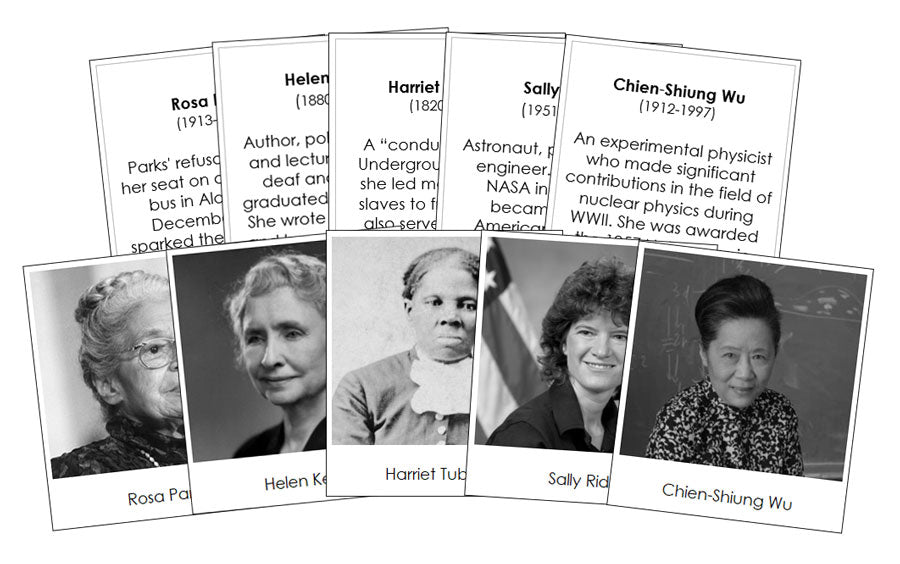
Great Women of the United States
$3.50
Teaching about significant historical figures is essential for understanding the past, present, and future. It fosters critical thinking and promotes...


