


World Maps Bundle
$40.00
Maps present information about the world in a clear and visual way. They help children understand global geography by showing the sizes and shapes of countries, the locations of various features, and the distances between different places. Moreover, maps can illustrate the distribution of various elements across the Earth, such as population patterns.
The maps in this bundle follow the traditional Montessori map color-coding.
Continent maps are in full color and include:
- blank outline map
- color map
- labeled outline map
- labeled color map
Capital cities maps are in black & white and include:
- blank outline map with dots
- labeled outline map
Maps included:
- The World
- North America
- North America - capital cities
- Canada
- Canada - capital cities
- USA
- USA - capital cities
- South America
- South America - capital cities
- Europe
- Europe - capital cities
- Asia
- Asia - capital cities
- Africa
- Africa - capital cities
- Australasia
- Australasia - capital cities
Maps print on 8½ x 11" paper and follow the traditional Montessori map colors.
The files are in PDF format. The download is a ZIP file you must unzip before accessing the individual PDFs.
Related Items


Africa Continent Bundle
$16.00
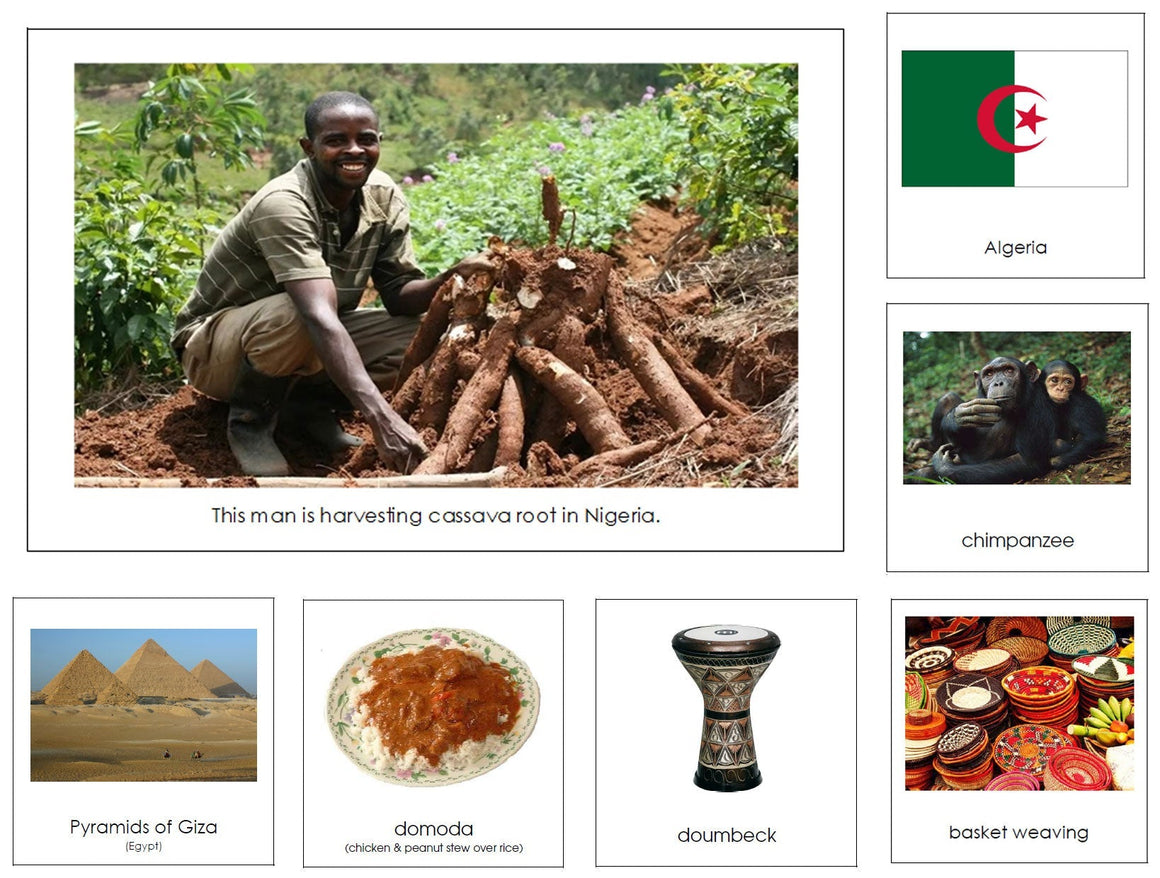
In the Montessori approach, studying continents helps foster a sense of global citizenship and respect for diversity. Continent cards help...


Africa Continent Bundle (color-coded)
$16.00
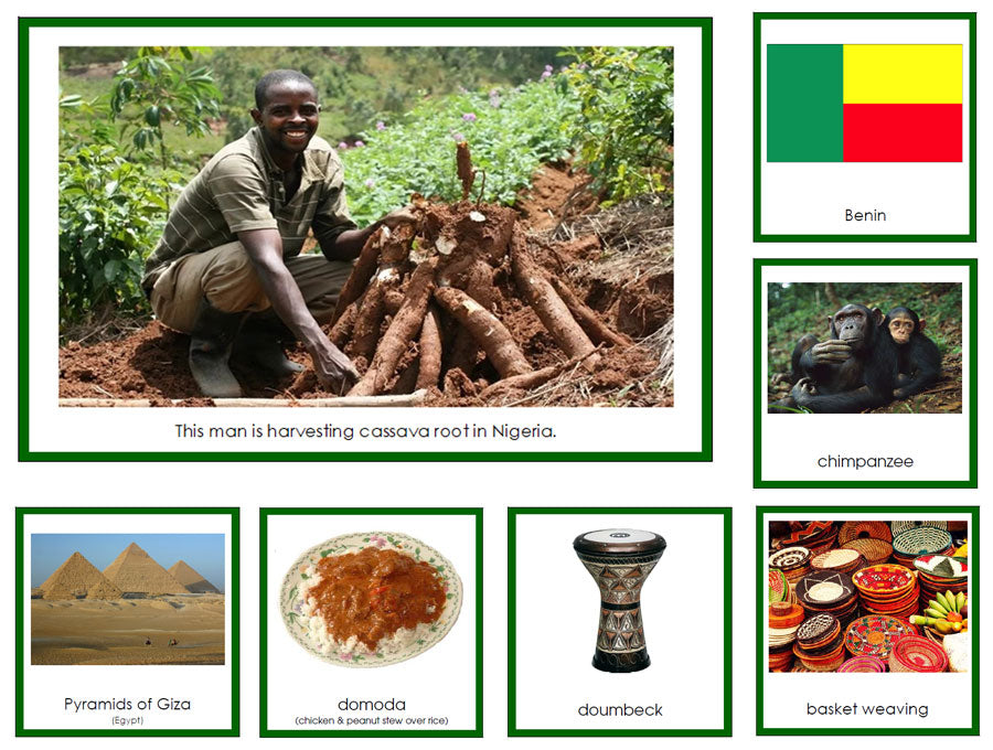
In the Montessori approach, studying continents helps foster a sense of global citizenship and respect for diversity. Continent cards help...


Africa Deluxe Continent Bundle
$30.00
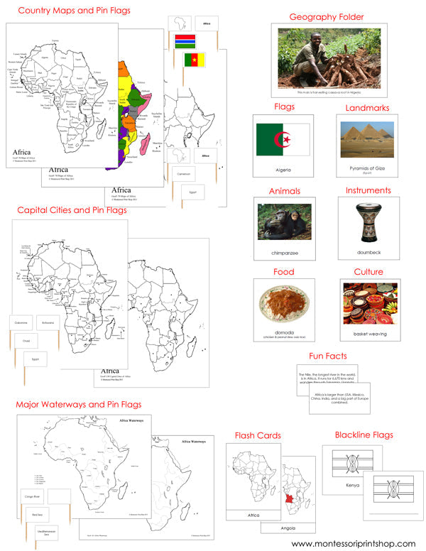
In the Montessori approach, studying continents helps children understand the world's geography, including the names and locations of landmasses. This...