
Africa Flashcards (color-coded)
$4.00
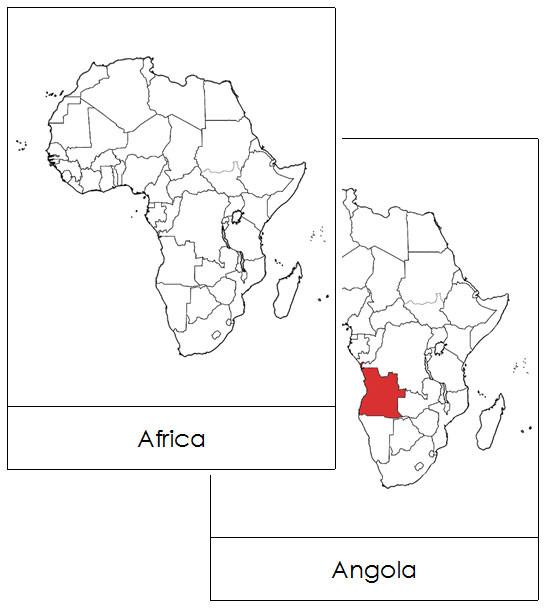
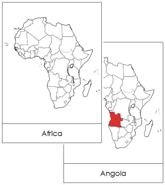
Maps present information about the world clearly and visually. They help children understand global geography by showing the sizes and shapes of countries, the locations of various features, and the distances between different places. Additionally, maps can show the distribution of various elements across the Earth, including population patterns.
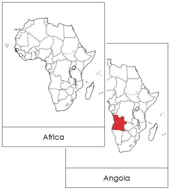
Include the countries of Africa:
- labeled cards
To make 3-part cards, print 2 sets. Keep one set with labels, and cut the labels off the second set.
Cards are approx. 7" x 5" and are color-coded with the traditional Montessori map colors.
This file is in PDF format.
Related Items
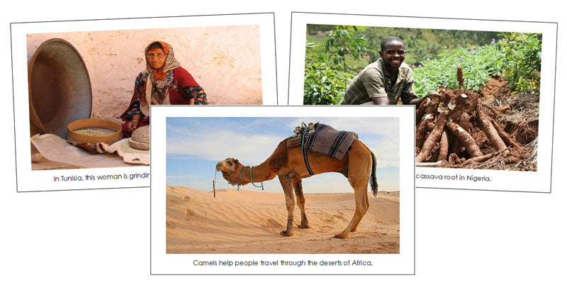
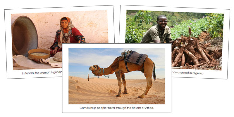
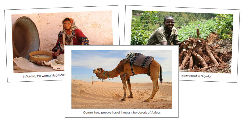
Africa Continent Cards
$4.00
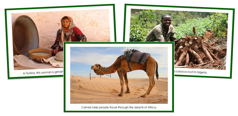
These continent cards build global understanding, cultivate appreciation for diverse cultures and environments, and support language development and critical thinking....
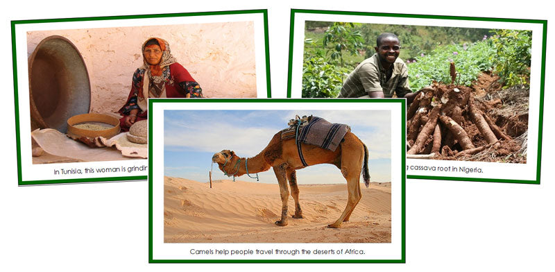
Africa Continent Cards (color-coded)
$4.00
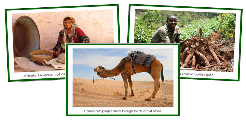
These continent cards build global understanding, cultivate appreciation for diverse cultures and environments, and support language development and critical thinking....
Africa Flashcards
$4.00
Maps present information about the world clearly and visually. They help children understand global geography by showing the sizes and...


